In order to measure the RCS on a test vessel, you need to know the distance and orientation of the object to corelate with the radar data, preferably in real time. When I onboarded with the Radar Trials team, the sensor packages that were in use were outdated and in bad repair. It was difficult to get setup and would regularly cause downtime with a test vessel on range.
After my first trial, I identified many key areas to improve. The IMU would not align if on a moving vessel. If power dropped, it would often require pausing the test until the vessel could come to shore in order to realign the sensor. The setup required multiple pelican cases on the deck with many external wires. The software running the packages could only be monitored and controlled from inside the pelican case.
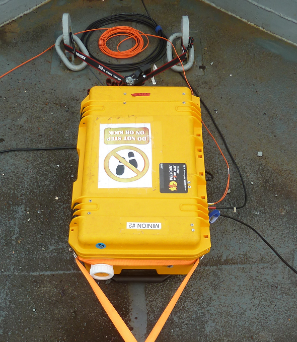
The redesigned physical packages were self contained with an internal battery, multiple sensors, and a tablet that could manage and record the sensors wirelessly. I integrated multiple exterior interfaces for flexible comms options. I went through the sensor documentation and implemented alignment methods that worked on a moving vessel. I rewrote the software using ASP.NET and abstracted the codebase to allow for the integration of multiple sensors and sensor types (including pressure, distance, and temperature). I created multiple form factors to allow higher precision instrumentation when space and power were available, and portability so that we could even run on small unmanned crafts.
Finally, I built up and trained the team on how to run the system, and documented how to operate and maintain the system. The packages have been used and deployed in around the world and have drastically reduced downtime during trials, as well as capturing additional data useful for testing.